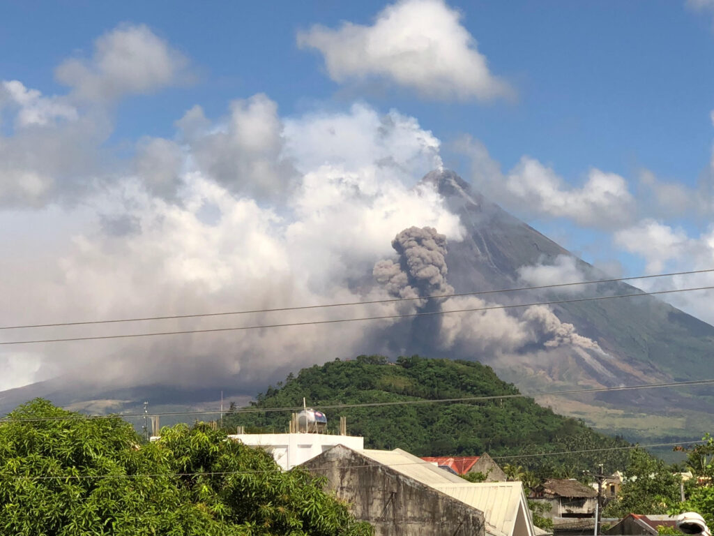
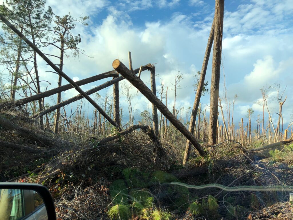
Post Disaster Assistance

Experience
While working for Google Street View, MCS’s COO John Mosher had the pleasure to work with many teams. As the head of the global drone department for Street View, John wanted to make sure that other teams within Google understood how the UAV industry could assist in times of need.
How we can help:
MCS specializes in the acquisition and hosting of 2D/3D imagery for situational awareness. This imagery can be hosted to disaster maps to better assist affected communities, first responders, and other public and or private entities. In addition, we can also host the imagery on private clouds. Visit our other pages for an idea of the Street Level and UAV equipment we utilize.