Mayon Volcano 2018 (Philippines)
Philippines – Mayon Volcano 2018
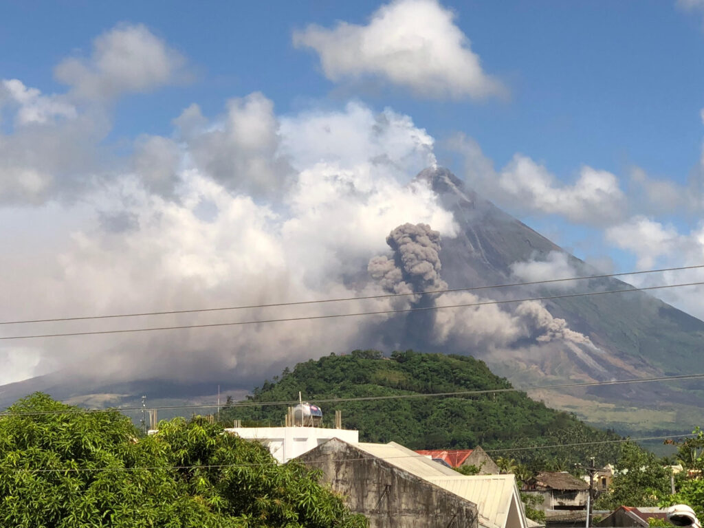
In January of 2018, a level 4 emergency was declared when the Mayon Volcano erupted in the town of Albay. Local Google Teams had asked if there was anything they could do. One of the requests was to try and get imagery of the top of the volcano as well as imagery of the lava flows and Lahars. Due to the ash in the air, flying over the volcano with a helicopter or plane was not an option. Even the quality of satellite imagery was unsatisfactory because of the smoke.
Eventually, a request had flowed to John to see if his team could support PHIVLOCS in gaining this vitally needed information. John and a team of his contractors were funded by the sponsoring team at Google in Manila.
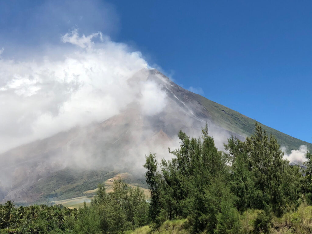
John met with Mr. Solidum (Dir. of PHIVLOCS), a newly appointed UAV Team lead for PHIVLOCS, and some other supporting staff for Mr. Solidum. The project had many obstacles. The Volcano was still at Alert Level 2, a 12KM safety zone, pending time constraints, and soon-to-come monsoons. After many conversations and planning sessions, the plan was determined to focus on the test case of trying to create 3d Imagery of the LAHARS.
The goal was to see if we could help to predict the amount of volume of ASH that may come down the mountain during heavy rain. In the past, more people perished from LAHARS around the Mayon Volcano than from the eruptions.
During the next several days they trained the UAV Team lead on proper methods to improve imagery collection for 3D orthomosaic imagery. Then we determined that in order to gather the imagery of the Lahars, we needed to go into the safety zones. We were guided into these zones by safety teams at our own risk. The Safety left because of the risks, while we stayed to conduct the flights. We were successful in gathering the information that was needed.