GIS Survey/Mobile Mapping
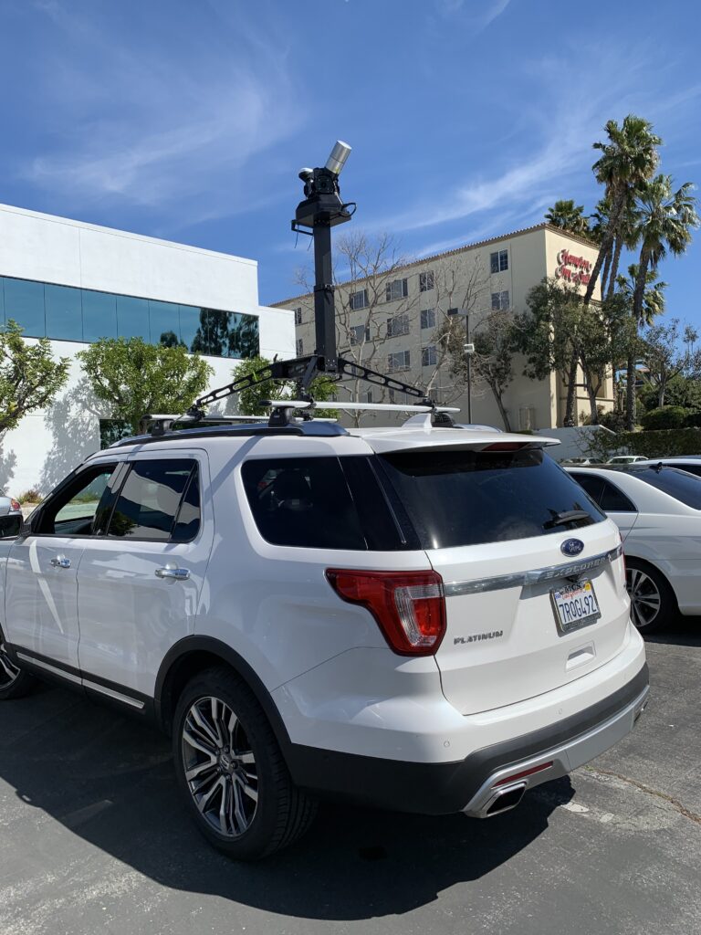
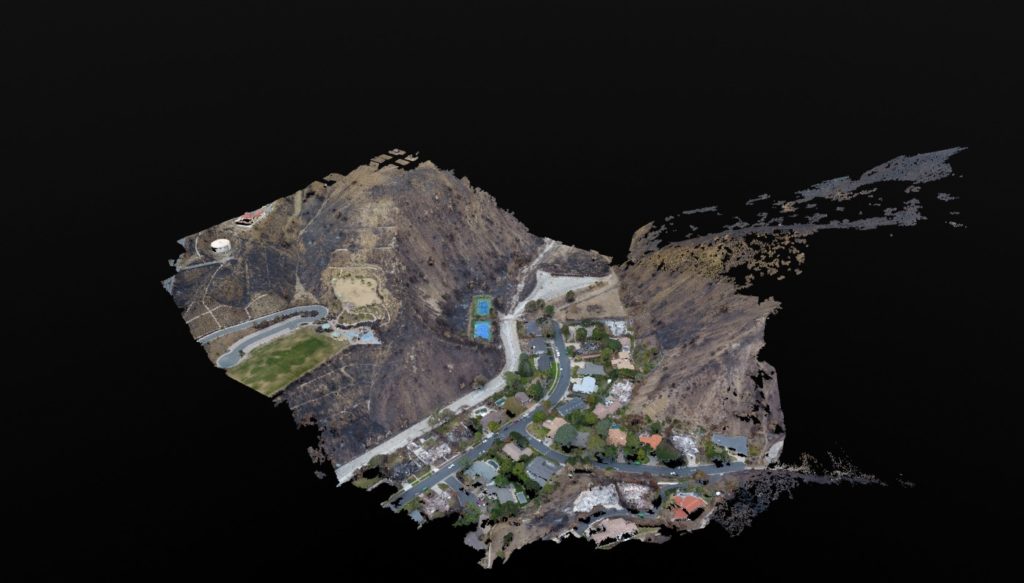
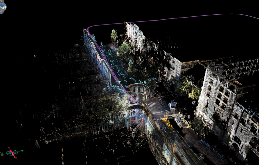
GEO Survey
GEO / GIS Spatial Information
We deploy the latest technology to the field. Utilizing sub-foot accurate GPS units to collect data for asset/infrastructure auditing and with QA/QC services for new infrastructure placement.
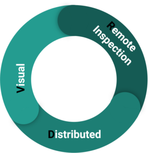
Our Approach “DVRi”
Distributed Visual Remote Inspections
- Working remotely is something we as a society are adopting very quickly
- Distributed workflows allow’s companies/teams to leverage their experts no matter where they are
- Leverage the best people onto your project no matter where they are
- Increase your efficiency up to 80% by bringing the decision making out of the field and onto your desktop.
- Sub-Meter Spatial accuracy and Centimeter Relative accuracy are our standard delivery methods
- Reduce cost and increase safety performance by decreasing field personnel required, increase efficiency by utilizing State-of-the-Art-Technology, the combination of efforts equals increased velocity, quality and safety